• About
  • Advertise
  • Careers
  • Contact Us
Wednesday, June 25, 2025
  • Login
No Result
View All Result
NEWSLETTER
Tech | Business | Economy
  • News
  • Tech
    • DisruptiveTECH
    • ConsumerTech
    • How To
    • TechTAINMENT
  • Business
    • Telecoms
    • Mobility
    • Environment
    • Travel
    • StartUPs
      • Chidiverse
    • TE Insights
    • Security
  • Partners
  • Economy
    • Finance
    • Fintech
    • Digital Assets
    • Personal Finance
    • Insurance
  • Features
    • IndustryINFLUENCERS
    • Guest Writer
    • EventDIARY
    • Editorial
    • Appointment
  • TECHECONOMY TV
  • Apply
  • TBS
  • BusinesSENSE For SMEs
  • Chidiverse
No Result
View All Result
Tech | Business | Economy
No Result
View All Result
Home Business Environment

Google Earth Turns 20, Adds Street View Time Travel, New Climate Tools

by Joan Aimuengheuwa
June 24, 2025
in Environment
0
Google Earth
Source: Google

Source: Google

UBA
Advertisements

Google has expanded the features of Google Earth by integrating historical Street View imagery, a feature that had previously been limited to Google Maps. 

This update coincides with the platform’s 20th anniversary and users can now scroll through years of Street View images directly on Google Earth, observing how cities, streets, and neighbourhoods have changed over time. 

Aside from viewing the Earth from above, you can now stand at street level and look back in time, from urban development to disappearing landmarks or the gradual wear of time on buildings.

This update builds on last year’s social media wave, where people searched for lost loved ones and familiar places using archived images on Google Maps. Now, that journey down memory lane is possible within Google Earth.

Alongside this visual feature, Google is rolling out new tools specifically aimed at professionals in the United States. These tools deliver environmental data to support decision-making in urban planning and sustainability. 

They include detailed maps of tree canopy coverage and land surface temperature data, essential resources for cities dealing with extreme heat or planning green infrastructure.

In practice, these tools can highlight overheated zones in a city and suggest areas where more tree cover or cooling measures might be needed. For instance, in Austin, Texas, professionals can pinpoint hotspots and identify locations that would benefit most from shade and cooling strategies.

The update is part of Google’s Environmental Insights Explorer project, which merges aerial data and environmental intelligence to help cities build climate resilience.

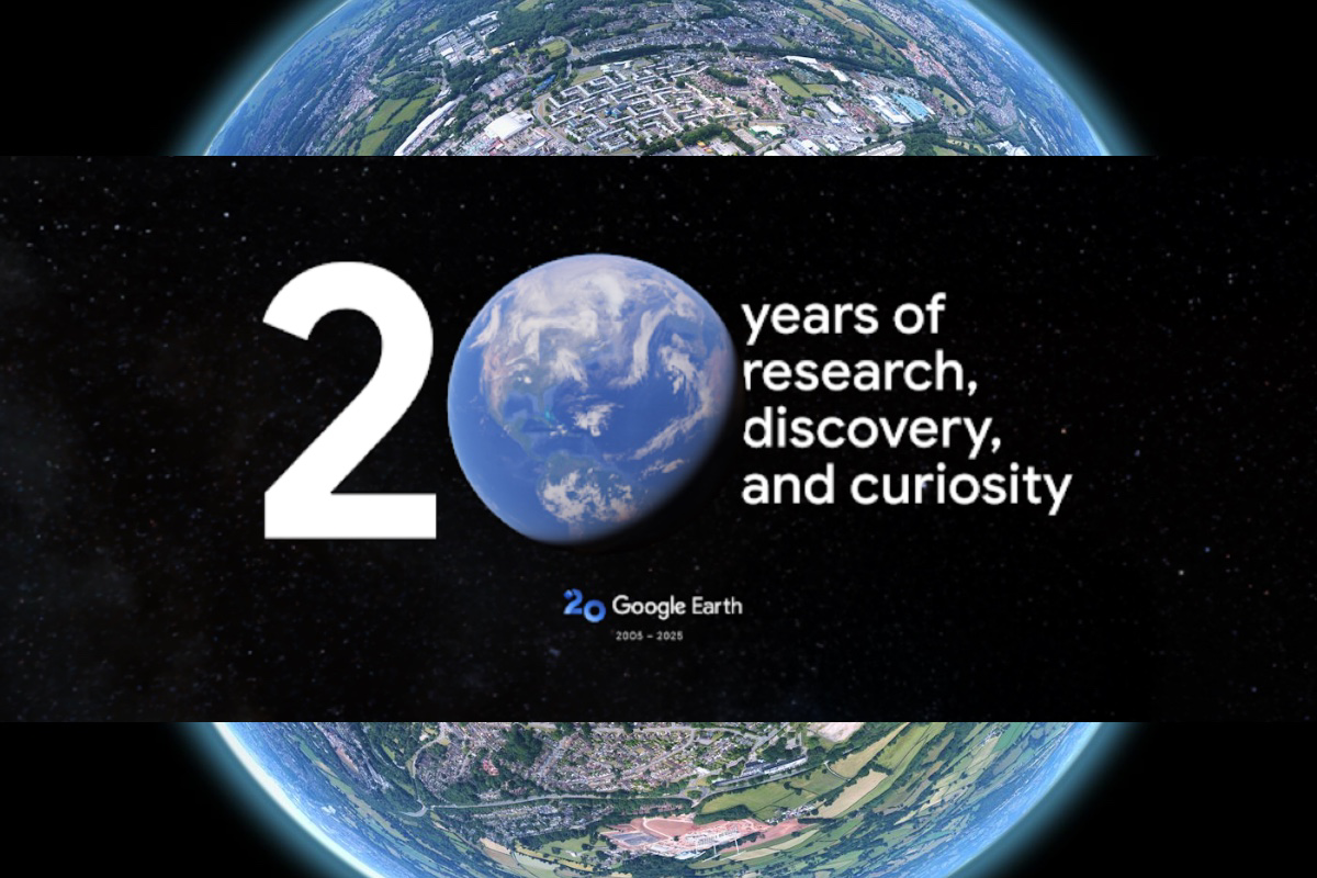
Reflecting on the journey, Google noted that Earth launched in 2005, based on the tech acquired from a startup called Keyhole. The platform became an instant global hit, amassing 100 million downloads in its first week. 

Since then, it’s been used in fields ranging from humanitarian response to filmmaking. In 2024 alone, it saw over two billion location searches.

“People come to Google Earth to explore, remember, and understand the world. Making historical Street View accessible here just made that experience more powerful.”

Loading

Advertisements
MTN ADS

0Shares
Tags: Environmental toolsGoogle EarthGoogle Earth 20th anniversaryGoogle Earth anniversaryGoogle updateHistorical imageryLand temperatureStreet ViewTime travel mapTree canopyUrban planning
Joan Aimuengheuwa

Joan Aimuengheuwa

Joan thrives at helping individuals and businesses scale via storytelling...

Next Post
Professor Ibrahim Adeyanju on GBB 1Government Cloud, fibre optic network | Govmail

Galaxy Backbone Pitches ‘Safe City Security Solutions’ to States Affected by Insecurity

Leave a Reply Cancel reply

Your email address will not be published. Required fields are marked *

I agree to the Terms & Conditions and Privacy Policy.

This site uses Akismet to reduce spam. Learn how your comment data is processed.

Recommended

NCC defends Mafab Communications

NCC Monitoring Mafab 5G Rollout – Spokesman

2 years ago
Amazon Tops, Google Drops to 5th in LinkedIn Best Place to Work

Amazon Tops, Google Drops to 5th in LinkedIn Best Place to Work

2 years ago

Popular News

    Connect with us

    • About
    • Advertise
    • Careers
    • Contact Us

    © 2025 TECHECONOMY.

    No Result
    View All Result
    • News
    • Tech
      • DisruptiveTECH
      • ConsumerTech
      • How To
      • TechTAINMENT
    • Business
      • Telecoms
      • Mobility
      • Environment
      • Travel
      • StartUPs
        • Chidiverse
      • TE Insights
      • Security
    • Partners
    • Economy
      • Finance
      • Fintech
      • Digital Assets
      • Personal Finance
      • Insurance
    • Features
      • IndustryINFLUENCERS
      • Guest Writer
      • EventDIARY
      • Editorial
      • Appointment
    • TECHECONOMY TV
    • Apply
    • TBS
    • BusinesSENSE For SMEs

    © 2025 TECHECONOMY.

    Welcome Back!

    Login to your account below

    Forgotten Password?

    Retrieve your password

    Please enter your username or email address to reset your password.

    Log In
    Translate »
    This website uses cookies. By continuing to use this website you are giving consent to cookies being used. Visit our Privacy and Cookie Policy.